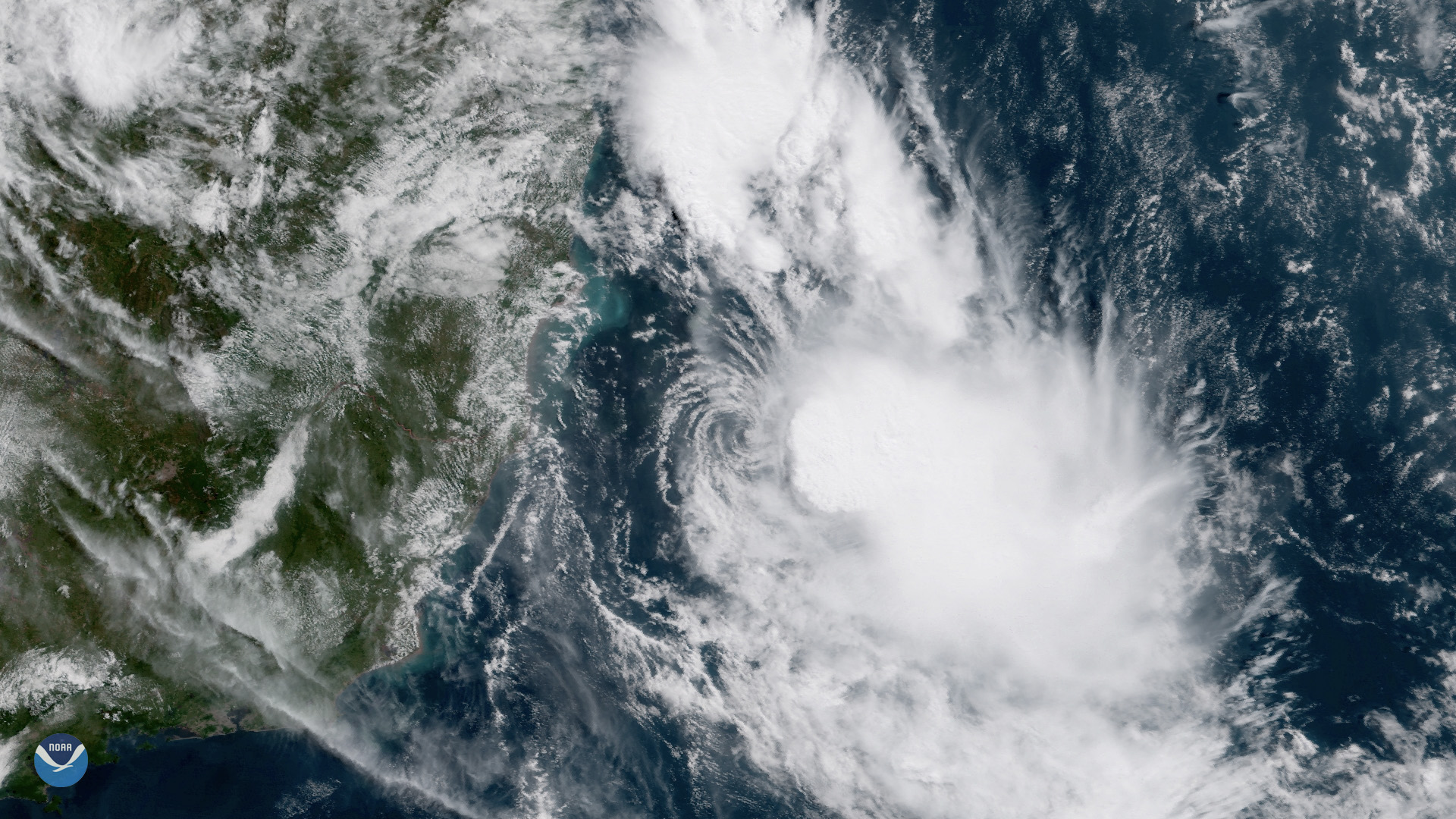
A tropical depression could form in the Central Atlantic by the end of this week, the National Hurricane Center reported Tuesday, Aug. 11, giving Apollo Beach and Ruskin waterfront residents a reason to double-check their hurricane plans as the most active stretch of the season begins.
The system, an area of low pressure about 500 miles southwest of the Cabo Verde Islands, carries a 70% chance of developing into a tropical depression within seven days and a 30% chance within 48 hours, according to the NHC's tropical weather outlook. If it strengthens into a named storm, it would become Tropical Storm Cristobal, the third named system of the 2026 season.
The NHC said environmental conditions are forecast to become more conducive for development over the next couple of days, with a tropical depression likely to form during the latter half of the week as the system moves westward to west-northwestward.
No immediate Florida threat
Dr. Ryan Truchelut, an independent meteorologist at WeatherTiger, assessed Monday, Aug. 10, that there are no tropical threats to Florida or the continental U.S. for the next week, with any activity over the next 10 days likely confined to the eastern or subtropical Atlantic. The National Weather Service's Tampa Bay marine forecast issued Tuesday morning calls for calm conditions through the rest of the week: light winds, light chop and only isolated afternoon thunderstorms.
Still, the system's development odds have climbed steadily, rising from 50% on Sunday, Aug. 9, to 60% Monday afternoon, to 70% by Monday evening.
Evacuation zones expanded in Apollo Beach
Even with a below-normal season forecast, Hillsborough County has already made changes that directly affect Apollo Beach. The county updated its hurricane evacuation zone maps for 2026 based on lessons from 2024's storm surge and inland flooding. Zone A now extends farther inland along the coastline and Alafia River, pulling in more Apollo Beach properties and mobile-home communities. Inland portions of Apollo Beach south of Big Bend Road landed in Zone E for the first time.
"Evacuation zones are very much based on storm surge, but we, of course, saw a lot of inland flooding, that riverine flooding," Katja Miller, operations section chief for Hillsborough County's Office of Emergency Management, said in April when the new maps were released. "So, we take a lot of that into account when we're talking about evacuation orders."
Residents can look up their 2026 zone by address using the free Hurricane Evacuation Assessment Tool at hcfl.gov/HEAT. HART provides free emergency evacuation bus service to shelters when an order is issued.
Below-normal season forecast holds
NOAA's Aug. 6 mid-season update projects 7 to 13 named storms for 2026, with a 75% probability of below-normal activity driven by a strengthening El Niño. Colorado State University's Aug. 5 forecast lowered the probability of a major hurricane striking the U.S. coastline to 16%, well below the 43% historical average.
National Weather Service Director Ken Graham cautioned in the Aug. 6 outlook that inland rainfall remains a major cause of damage, noting that Tropical Storm Arthur demonstrated the risk earlier this season. More than 85% of Atlantic tropical cyclone activity occurs between August and October, with the statistical peak arriving around Sept. 10.
What boaters and waterfront residents should do now
Boaters who launch from E.G. Simmons Conservation Park in Ruskin or other South Shore ramps should confirm their vessel tie-down plans and monitor the NHC's tropical weather outlook at nhc.noaa.gov, which updates four times daily. The NHC is also tracking two other Atlantic disturbances, both with only 10% development odds.
Upcoming community events
- Saturday, Aug. 15: Apollo Beach Garden Club Open House, 8:30 a.m. to noon, at the Apollo Beach Community Forest Garden. Free breakfast and garden tours.
- Tuesday, Sept. 15: Apollo Beach Garden Club Annual Membership Meeting, 6:30 p.m., Apollo Beach Recreation Center, 664 Golf and Sea Blvd.






.jpg)